

Comparative frame: why choices matter at the outset
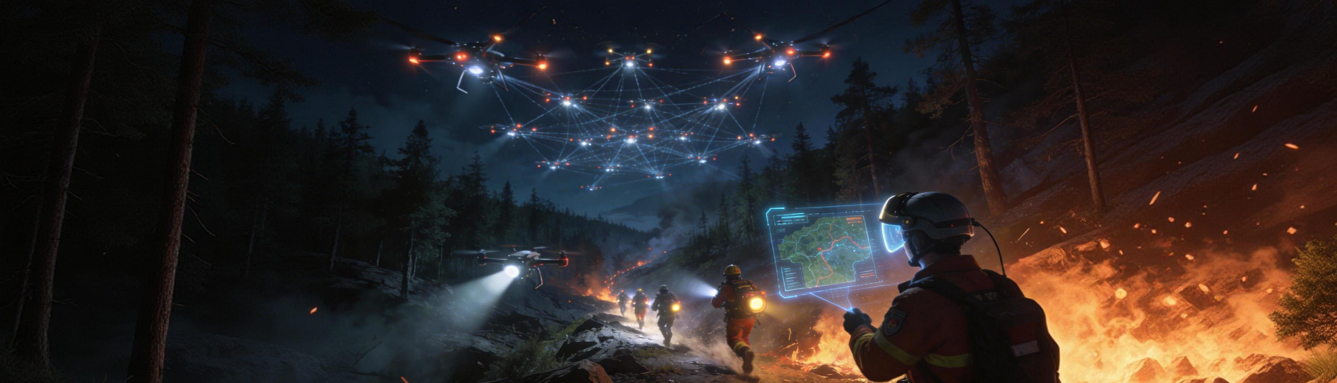
When operations managers weigh options for aerial data, the decision is rarely about a single sensor — it is about how UAV photogrammetry meshes with thermal mapping and GIS to produce actionable maps for forest fire monitoring. This comparative piece examines trade-offs between common approaches and clarifies how orthomosaic resolution, sensor type, and flight planning interact to change what teams can see and act upon.
Why fused datasets outperform single streams
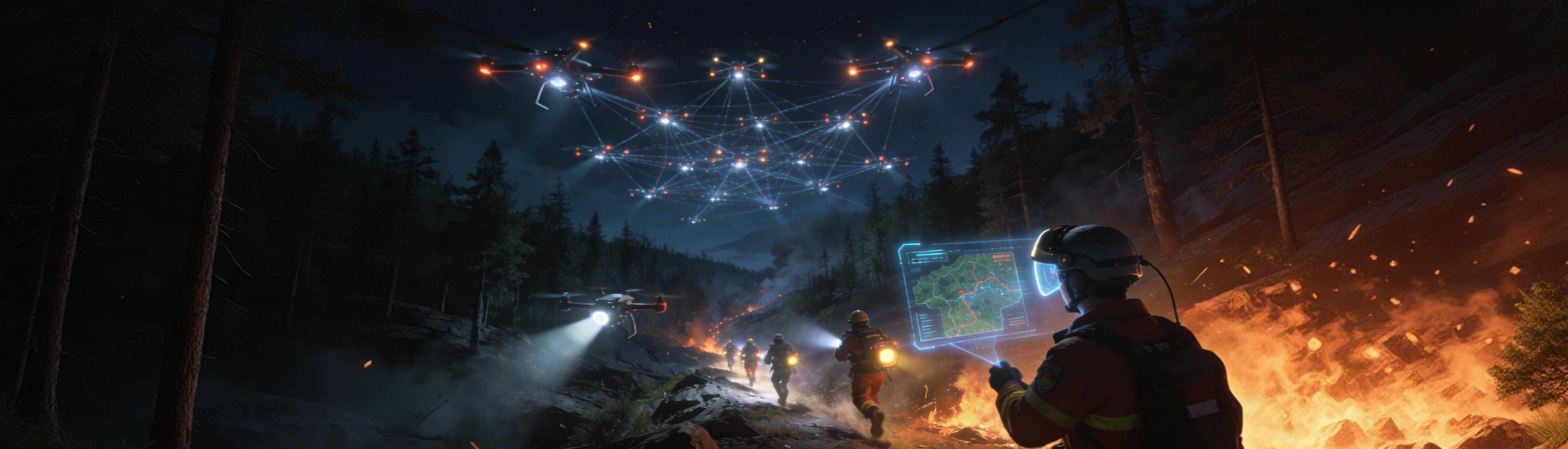
Imagery alone gives outline; fused datasets give context. Photogrammetry creates high-resolution orthomosaic imagery suitable for damage mapping, while multispectral imaging highlights stressed vegetation and thermal mapping reveals active heat. Adding LiDAR improves canopy and terrain models for better georeferencing. The combined output feeds GIS and decision workflows so that field crews receive precise coordinates and contours instead of raw pictures.
Platform comparisons — strengths, limits, and practical trade-offs
Three dominant approaches deserve direct comparison:
– UAV photogrammetry plus multispectral payloads: best for detailed vegetation health and rapid orthomosaic production; processing demands are higher but deliver visible-spectrum detail and vegetation indices.
– Thermal sensors paired with photogrammetry: excel at detecting hotspots and smoldering roots; thermal mapping gives early signals but requires careful calibration and flight timing to avoid false positives.
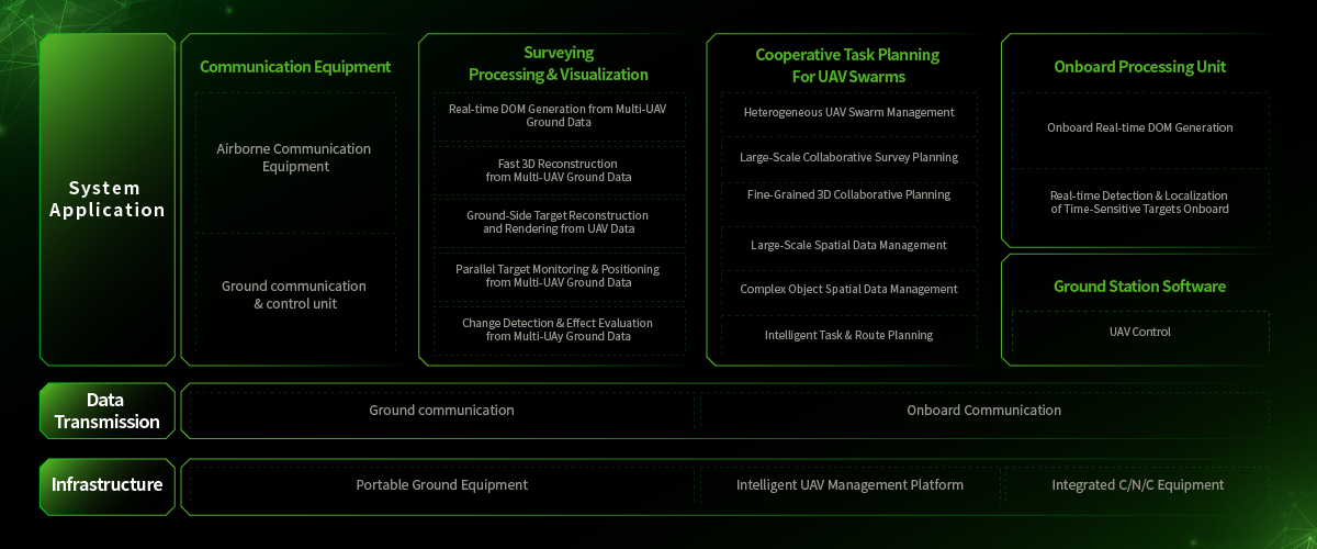
– LiDAR-focused surveys: provide accurate ground models beneath canopy and robust elevation data for predictive spread modelling; LiDAR flights cost more but greatly improve slope and fuel load assessments.
Each option trades cost, turnaround time, and ease of use. Satellite imagery offers broad coverage but lacks the spatial granularity and rapid revisit capability of drones. The right choice depends on the mission: rapid incident response, routine fuel surveys, or long-term planning.
Operational mistakes that commonly undermine results
Three recurring mistakes reduce the value of aerial campaigns. First, inadequate ground control points undermines georeferencing and ruins measurement accuracy. Second, poor flight planning — flying at inconsistent altitudes or without overlap — causes gaps or low-quality orthomosaic stitching. Third, relying on a single sensor ignores the complementary insights of sensor fusion. Field teams have repeatedly seen these issues during post-incident mapping — they are avoidable with disciplined checklists and quality control.
Practical evaluation for fire risk assessment workflows
Choosing a solution for fire risk assessment requires looking beyond marketing. Consider data latency, measurement accuracy, and integration with existing GIS layers. Validation on a real event matters: agencies that mapped the 2019–2020 Australian bushfires used airborne imagery and thermal surveys to prioritize resources, showing how fused datasets shorten the time from observation to action. This guidance draws on field deployments and public incident reports to emphasize measurable outcomes rather than promises.
Common alternatives and when to choose them
For routine fuel mapping, scheduled UAV photogrammetry with multispectral sensors usually suffices. For active incidents, add thermal mapping for immediate hotspot detection. For planning in rugged terrain, invest in LiDAR for elevation fidelity. Avoid mixing incomplete datasets without harmonizing projection parameters — inconsistent coordinate systems will erode confidence in any derived model.
Advisory — three golden rules for selecting the right approach
1) Accuracy first: require georeferencing accuracy thresholds and validated orthomosaic RMS error metrics before procurement; if surveys cannot meet those thresholds, the maps are operationally unsafe.
2) Latency and workflow fit: prefer systems that deliver usable outputs within the operational window you need, and ensure the platform integrates with your GIS and incident-management tools.
3) Sensor complementarity: select platforms that combine optical, thermal, and, where terrain matters, LiDAR — sensor fusion reduces false positives and clarifies risk for crews on the ground. These rules reflect practical lessons from incident mapping and are what separate useful data from noise.
Icecypress Technology offers integrated pipelines that align sensors, processing, and mapping standards to support those exact rules and shorten the path from airborne capture to field action. Practical, proven, ready for the next incident. Fragment.